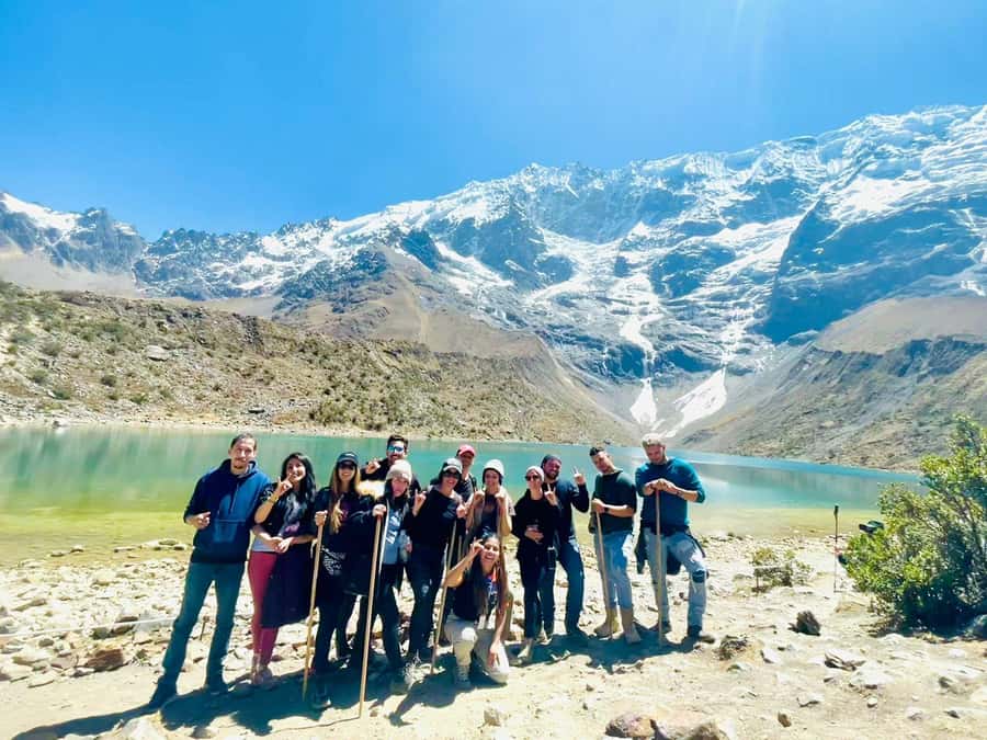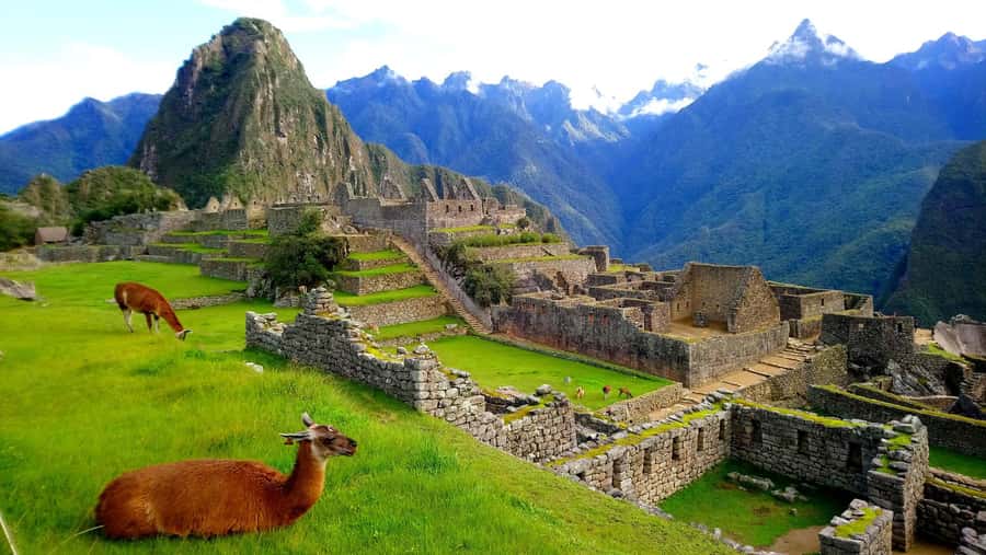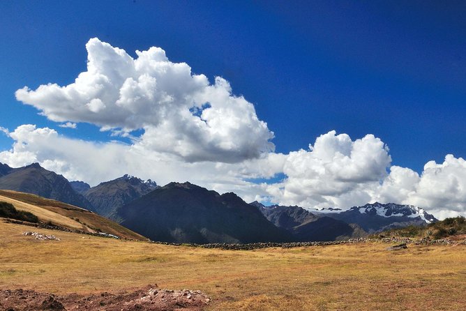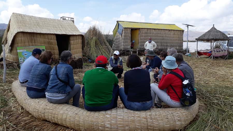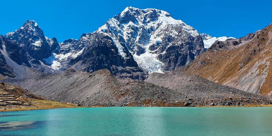
Cusco: Humantay Lake Tour with Breakfast and Buffet Lunch
1.Cusco: Humantay Lake Tour with Breakfast and Buffet Lunch
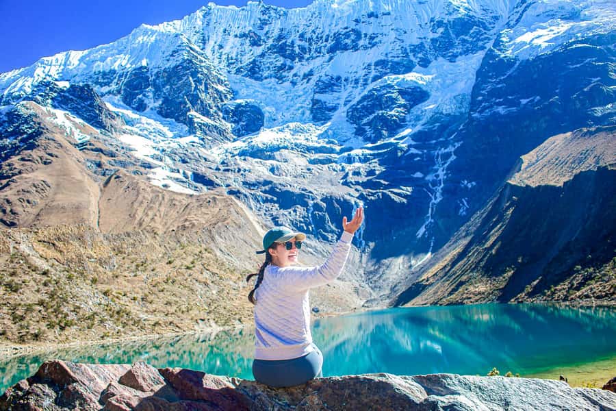
Sunrise trek to Humantay Lake with breakfast and buffet lunch from Cusco, plus bilingual guidance, views of Salkantay, and emergency oxygen.
Most Popular